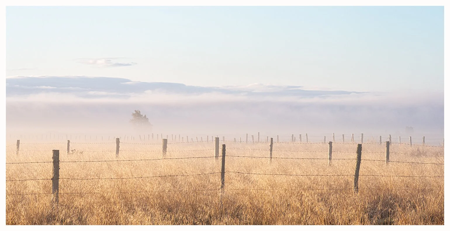
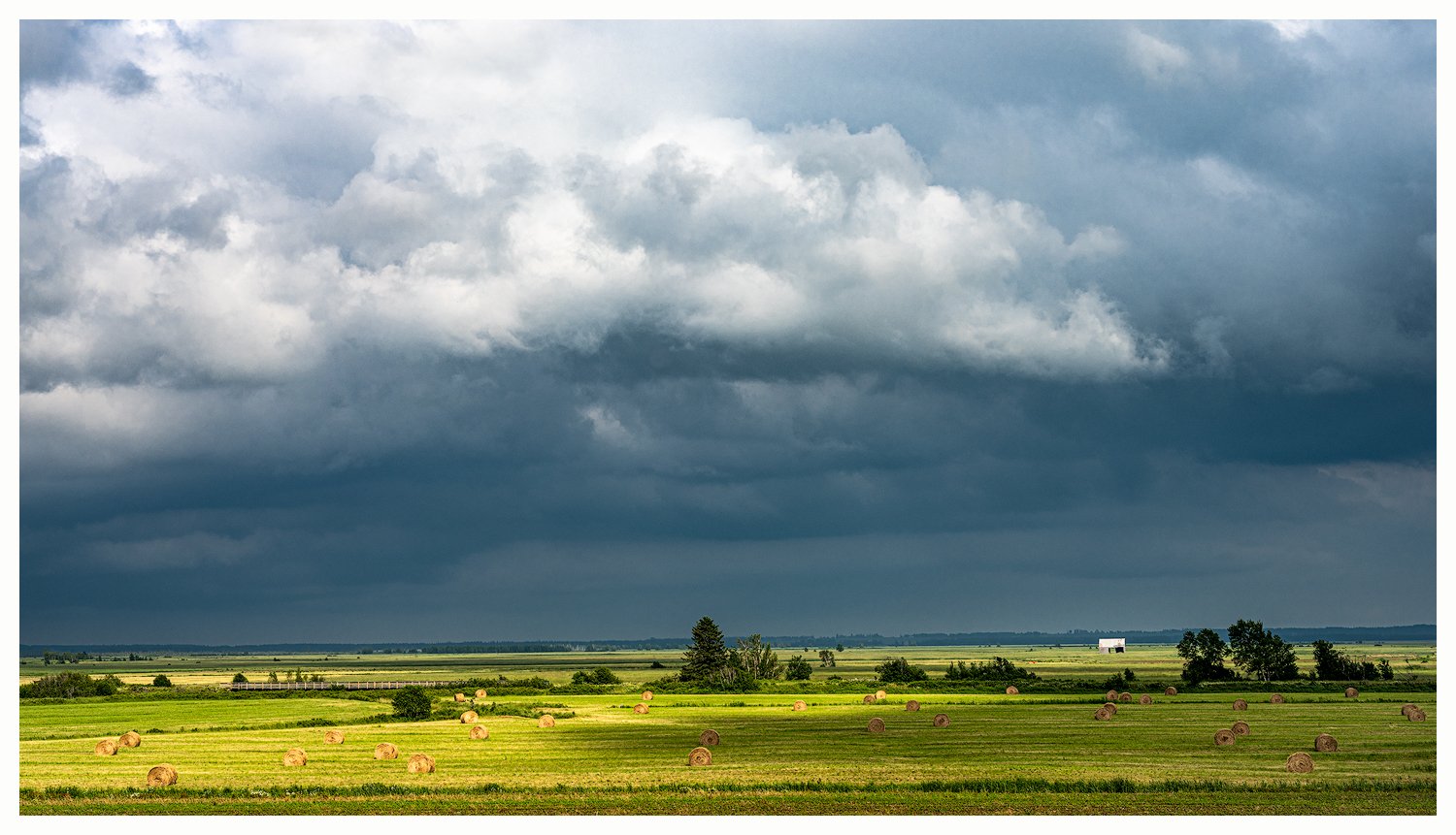
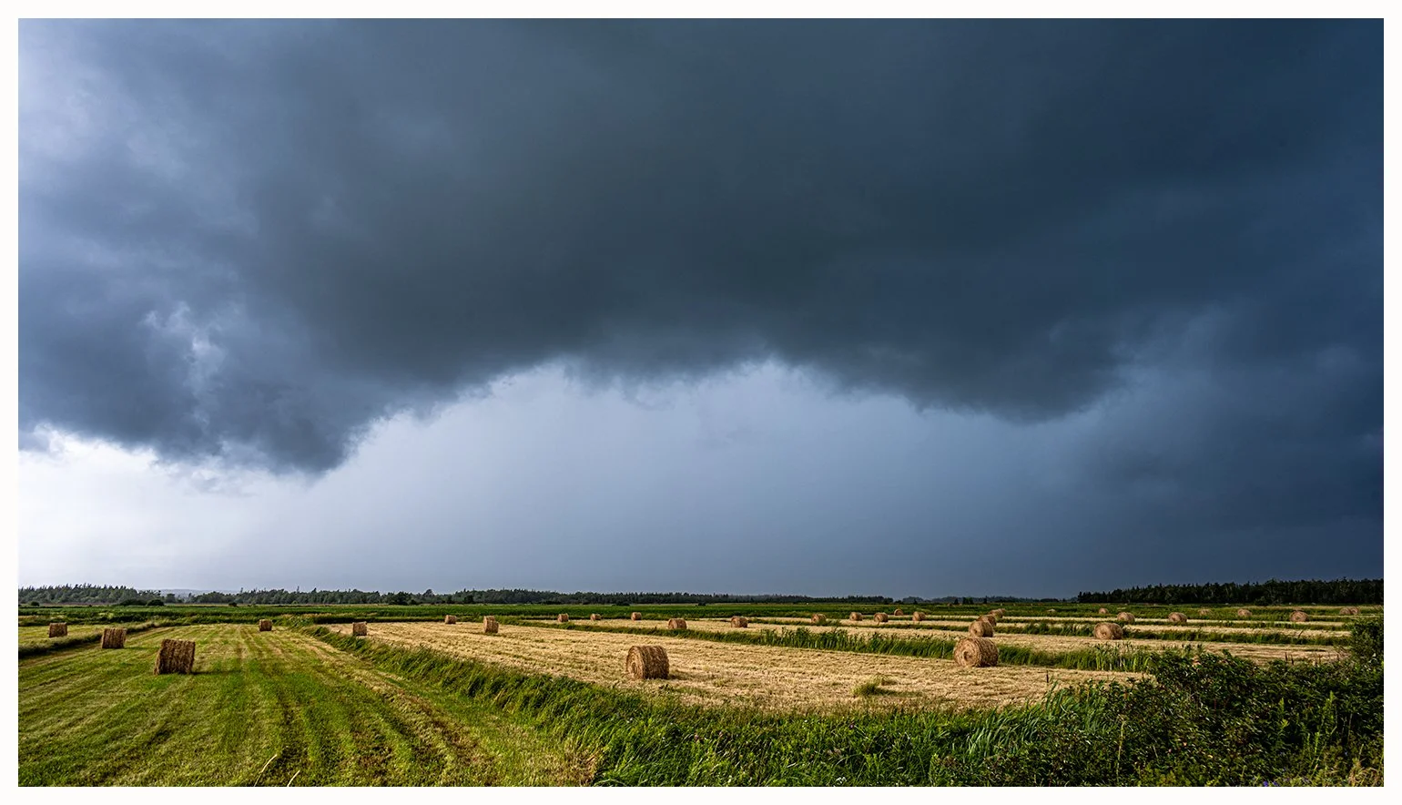
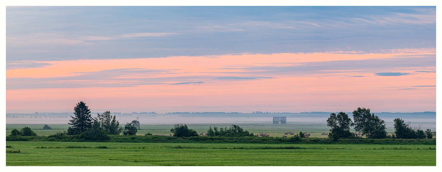
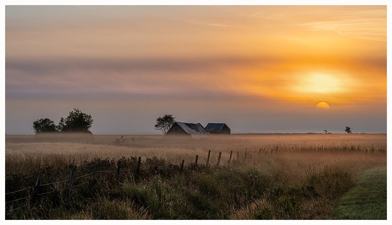
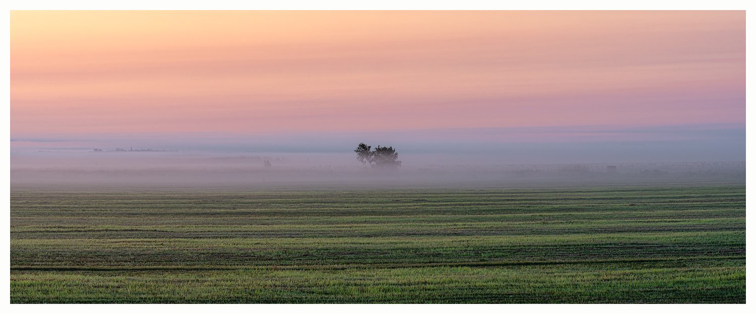
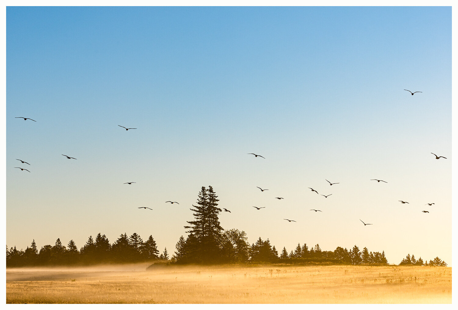
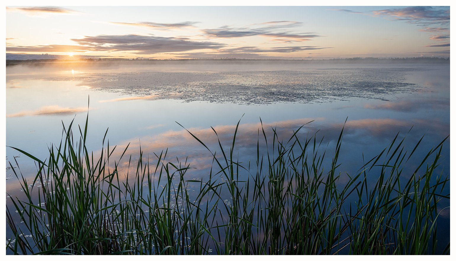
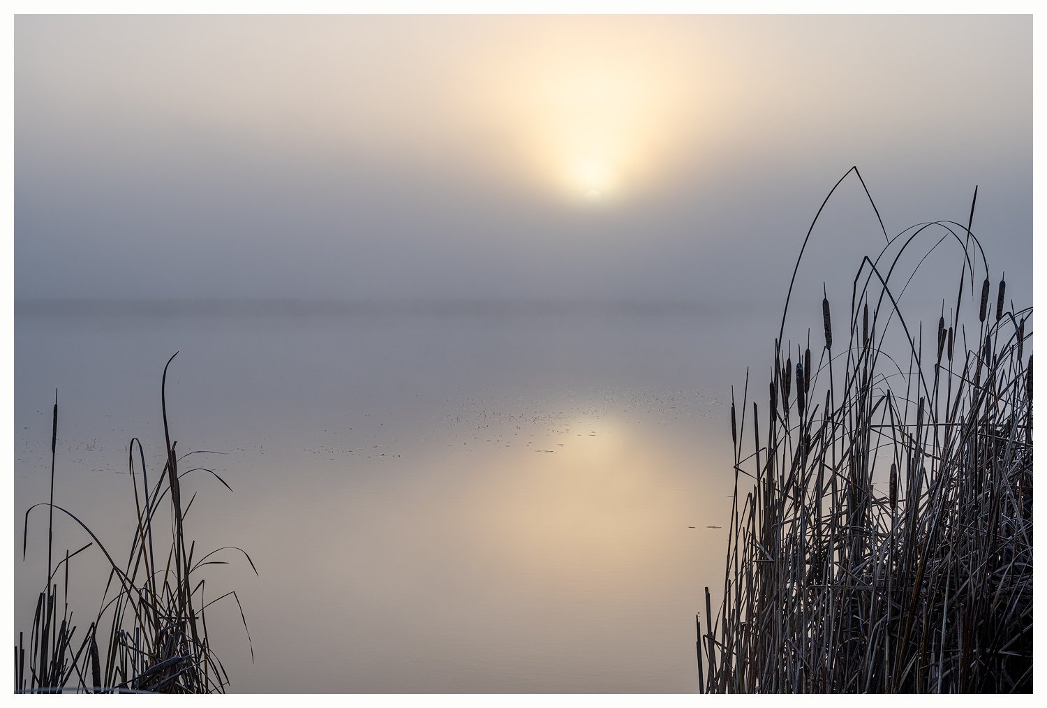
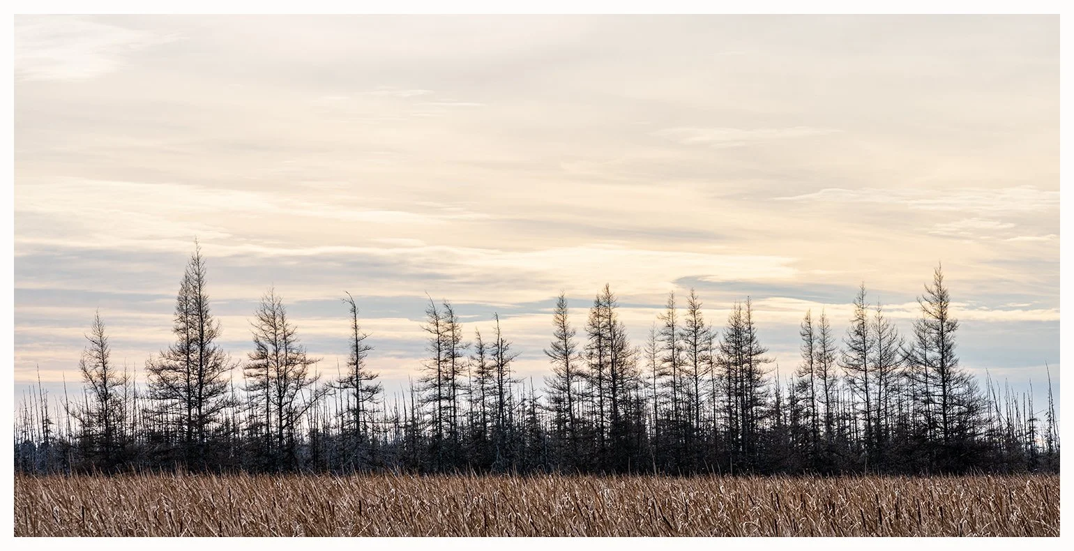
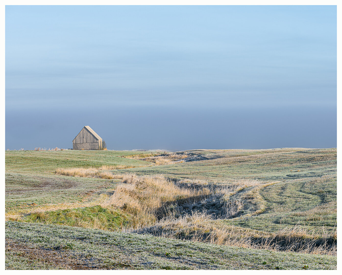
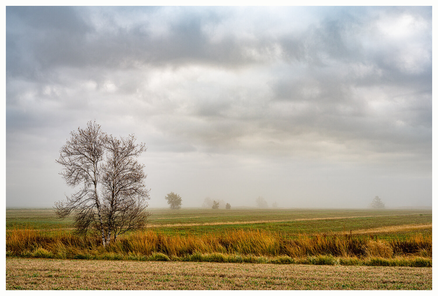
TANTRAMAR – Marsh and Mud-flat
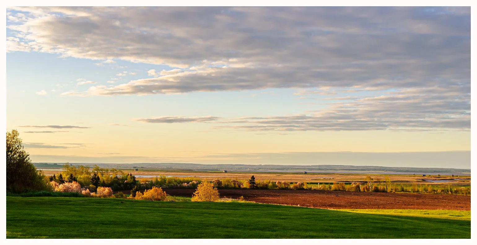
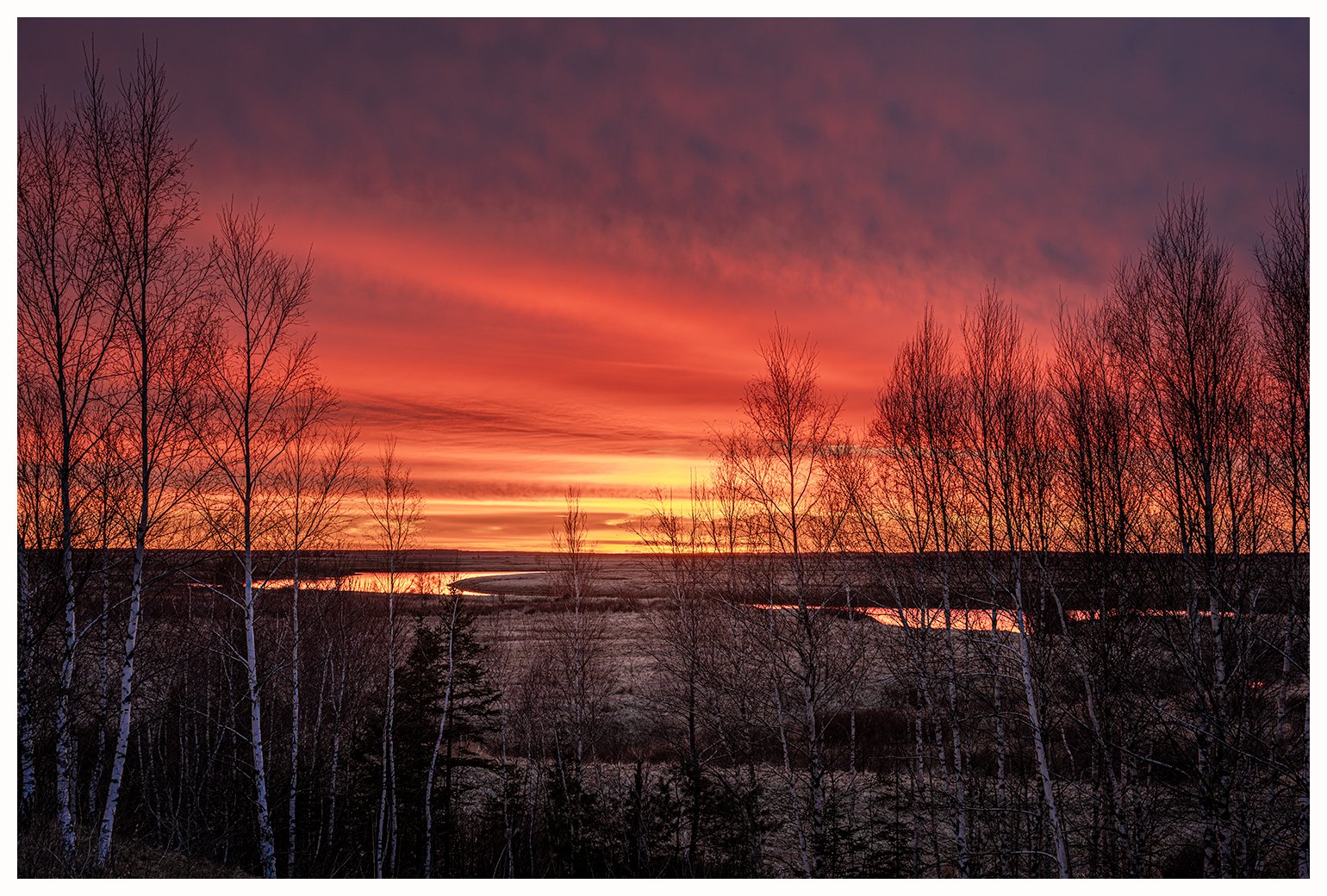
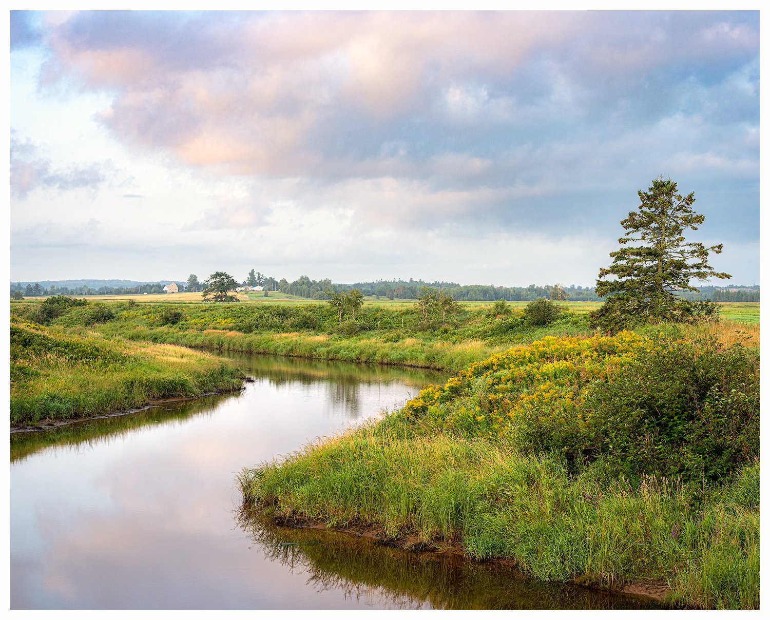
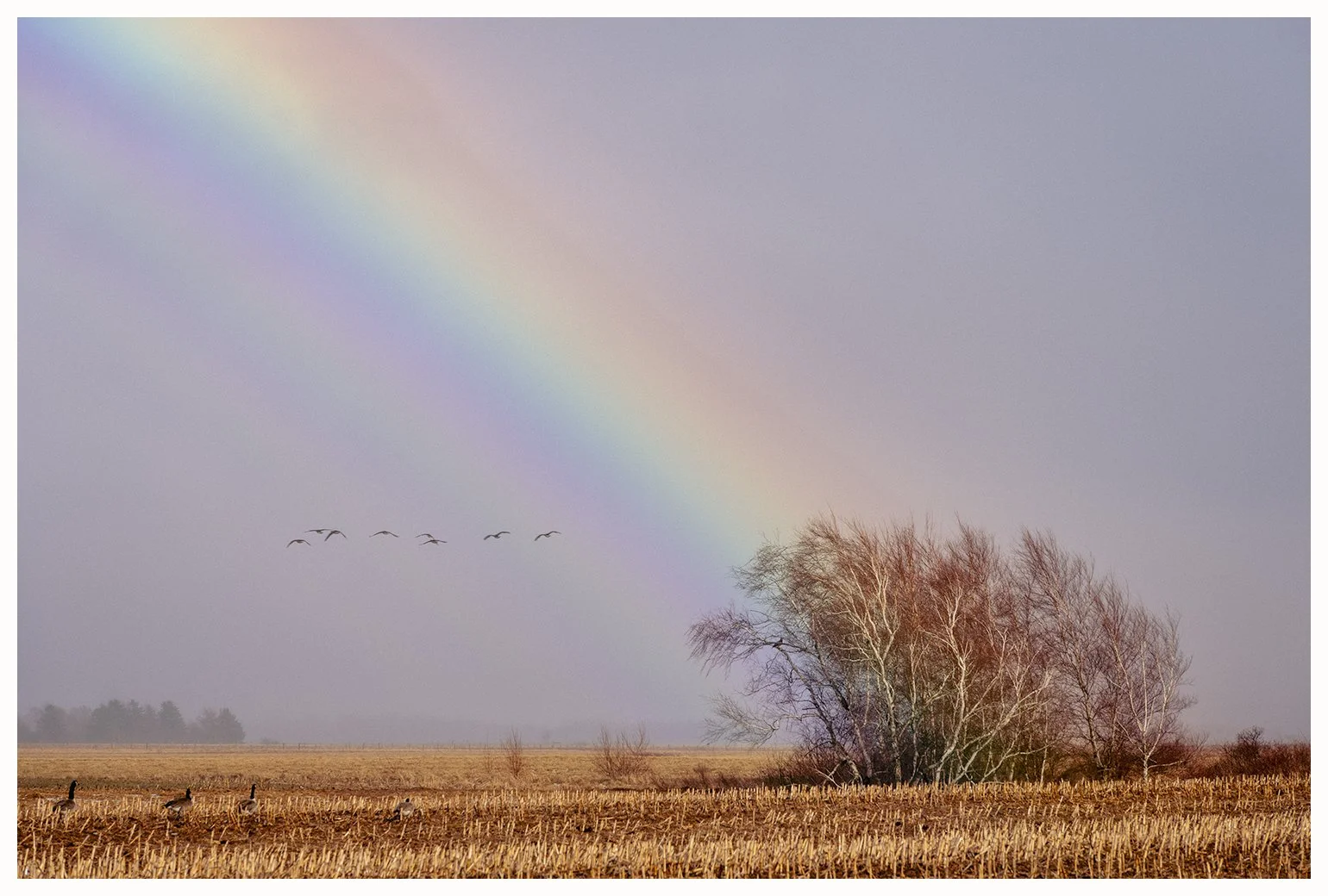
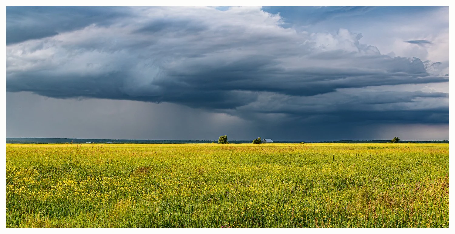
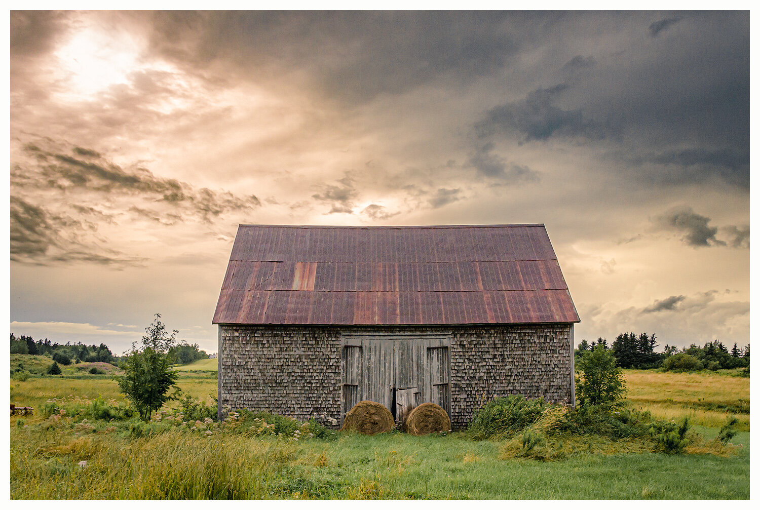
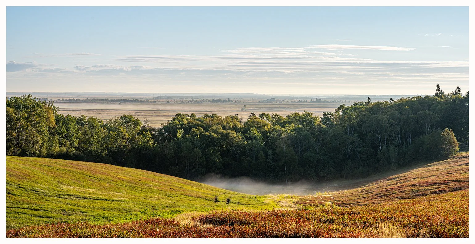
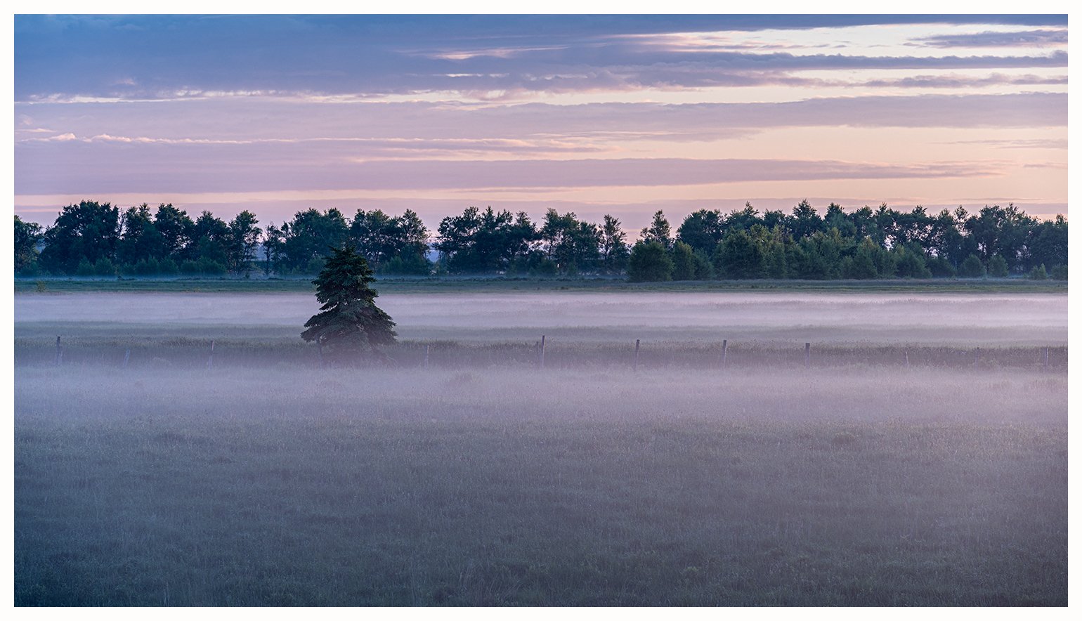
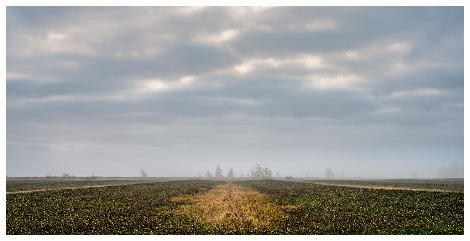
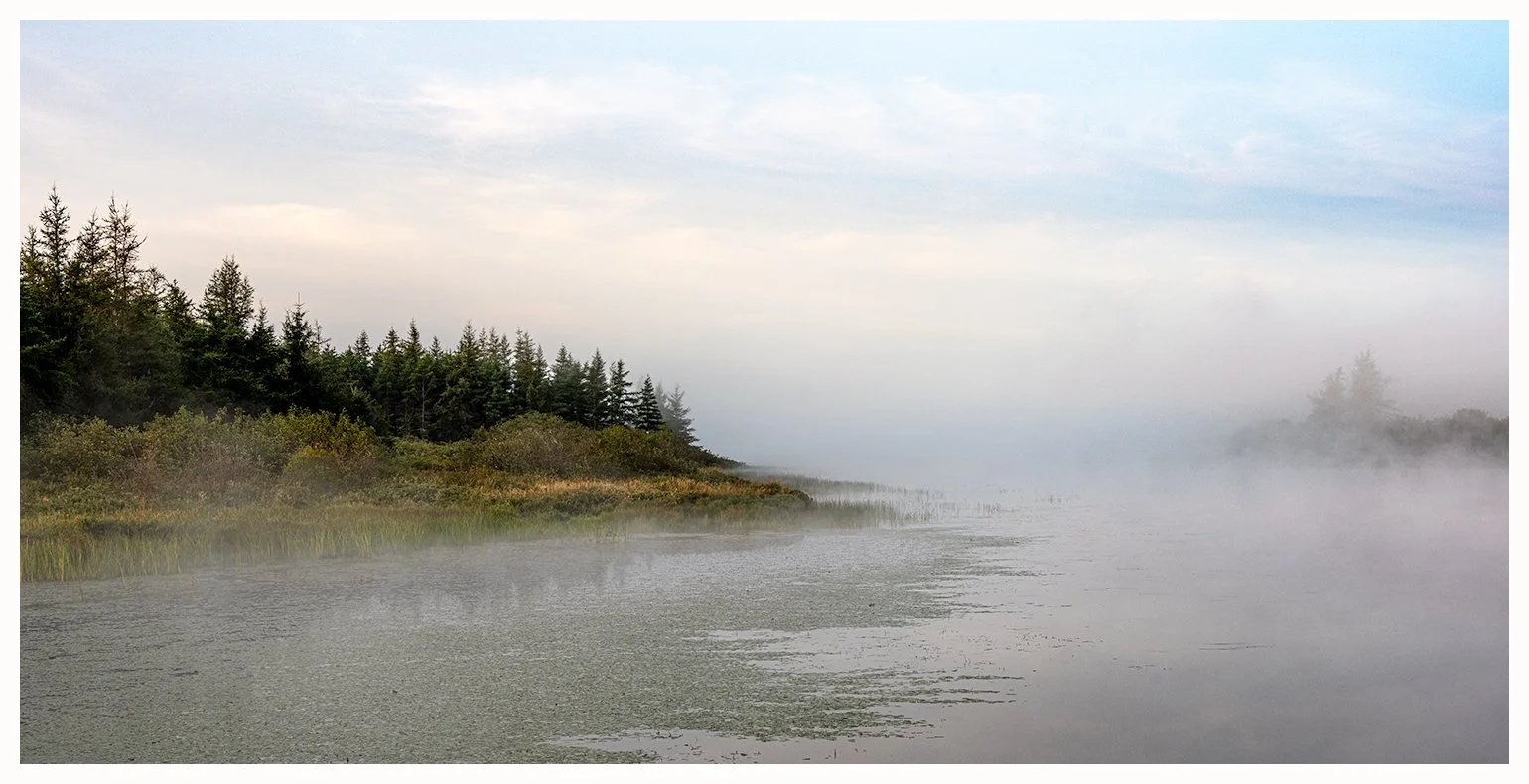
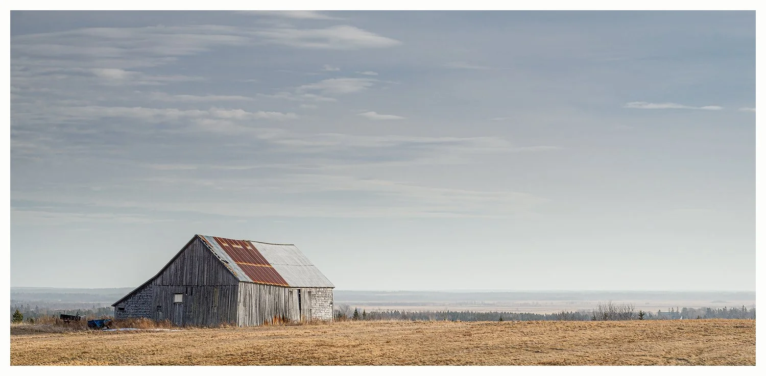
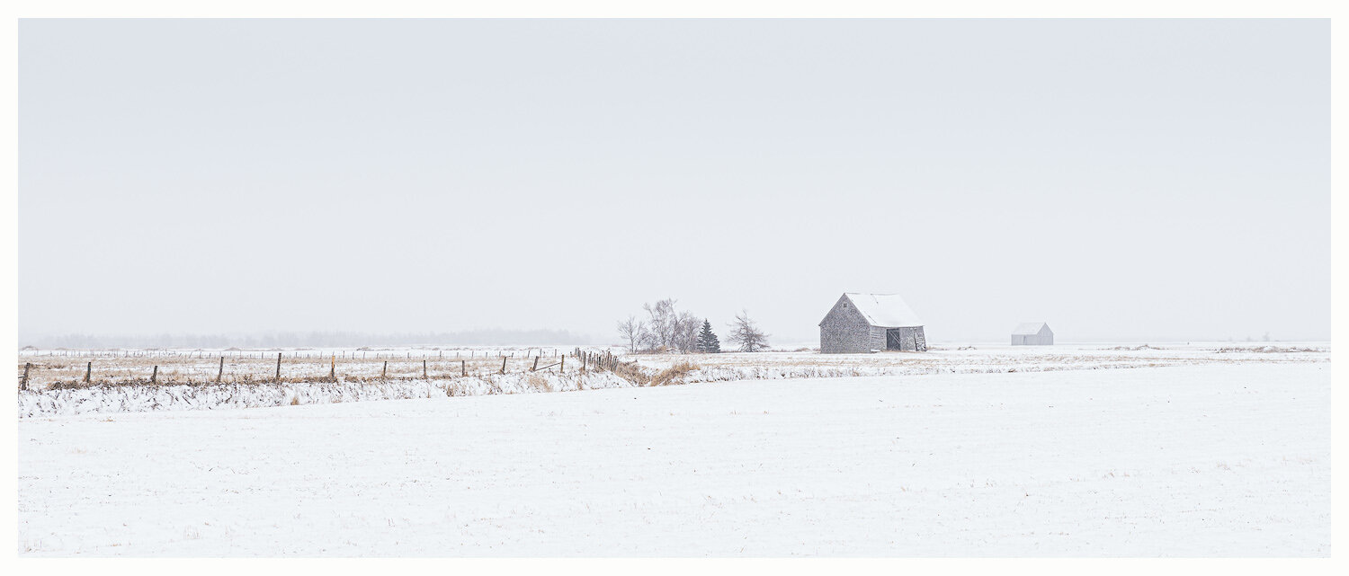
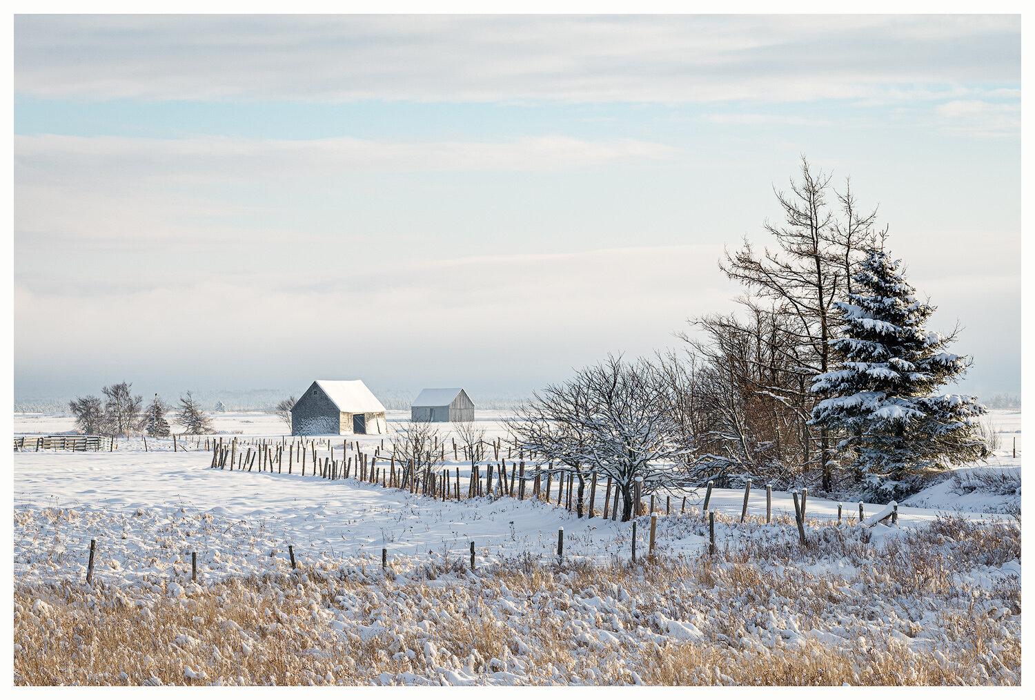
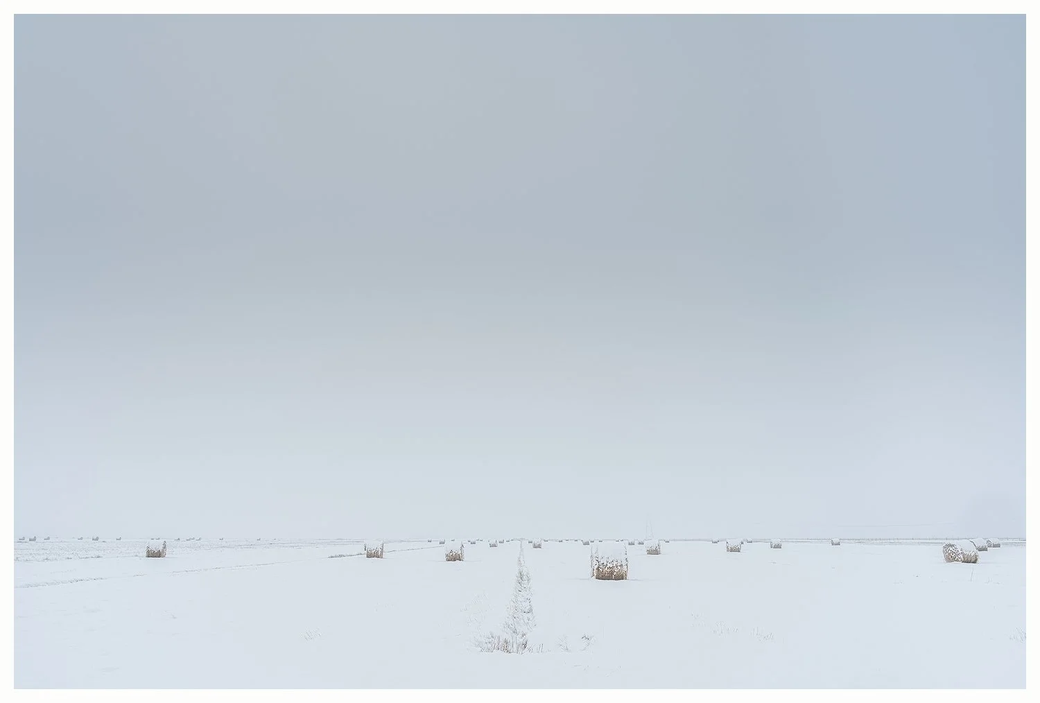
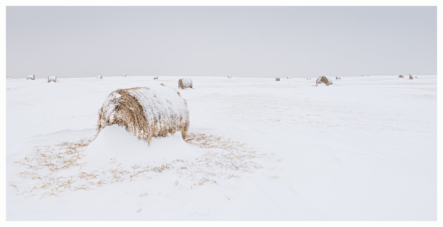
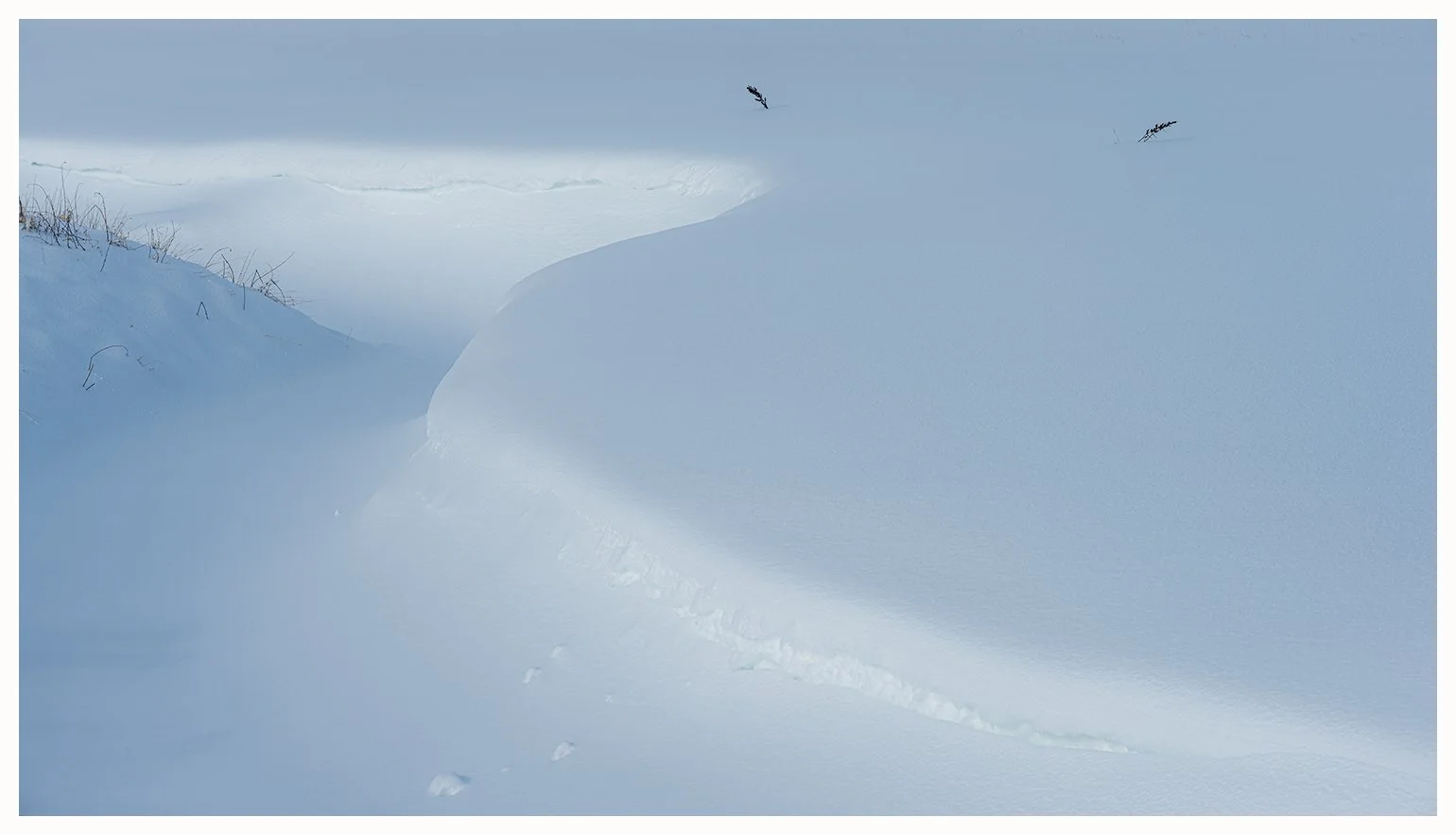
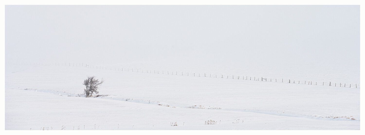
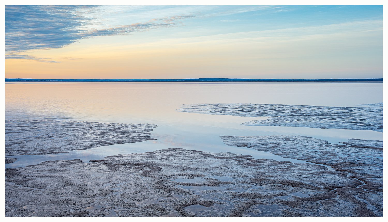
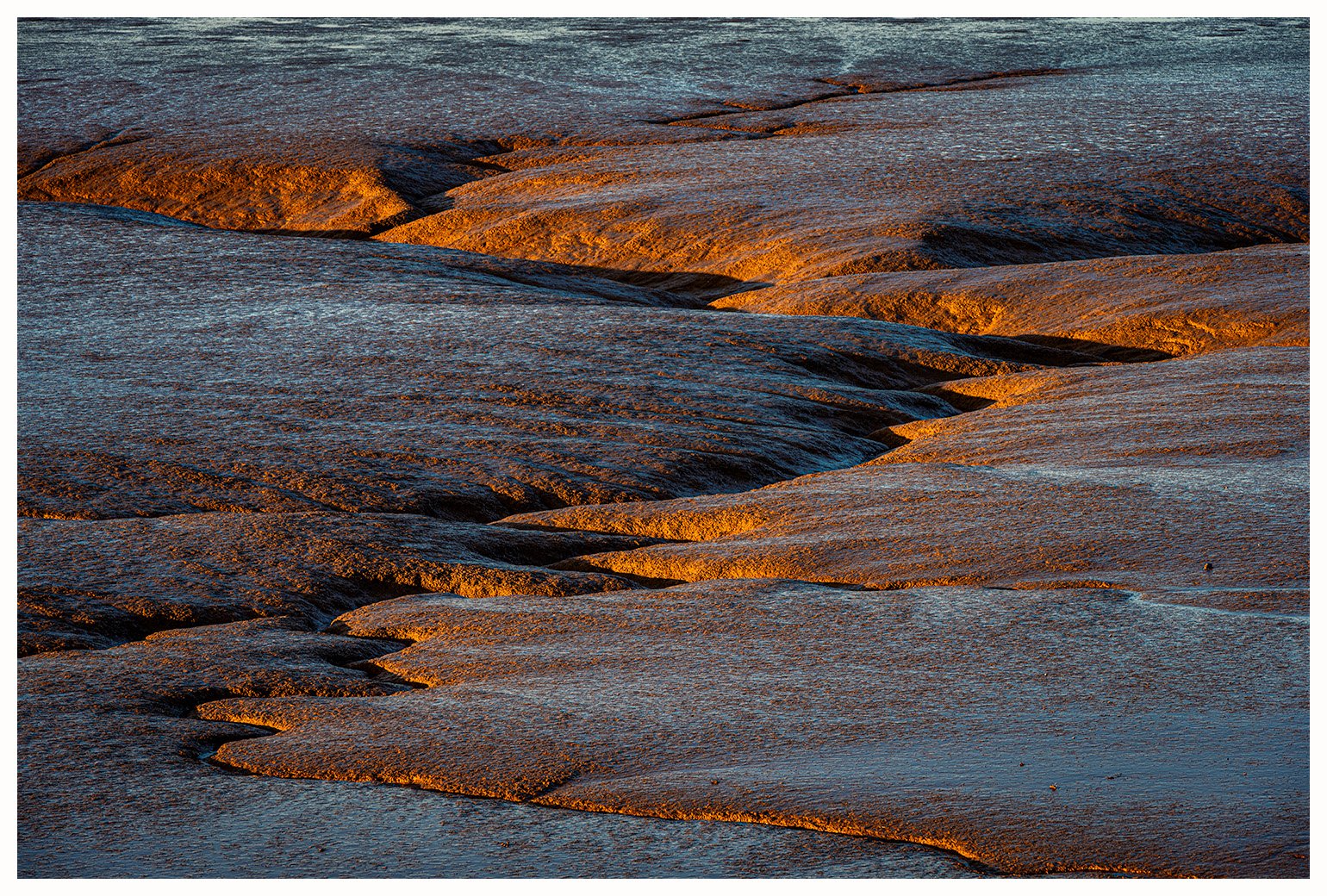
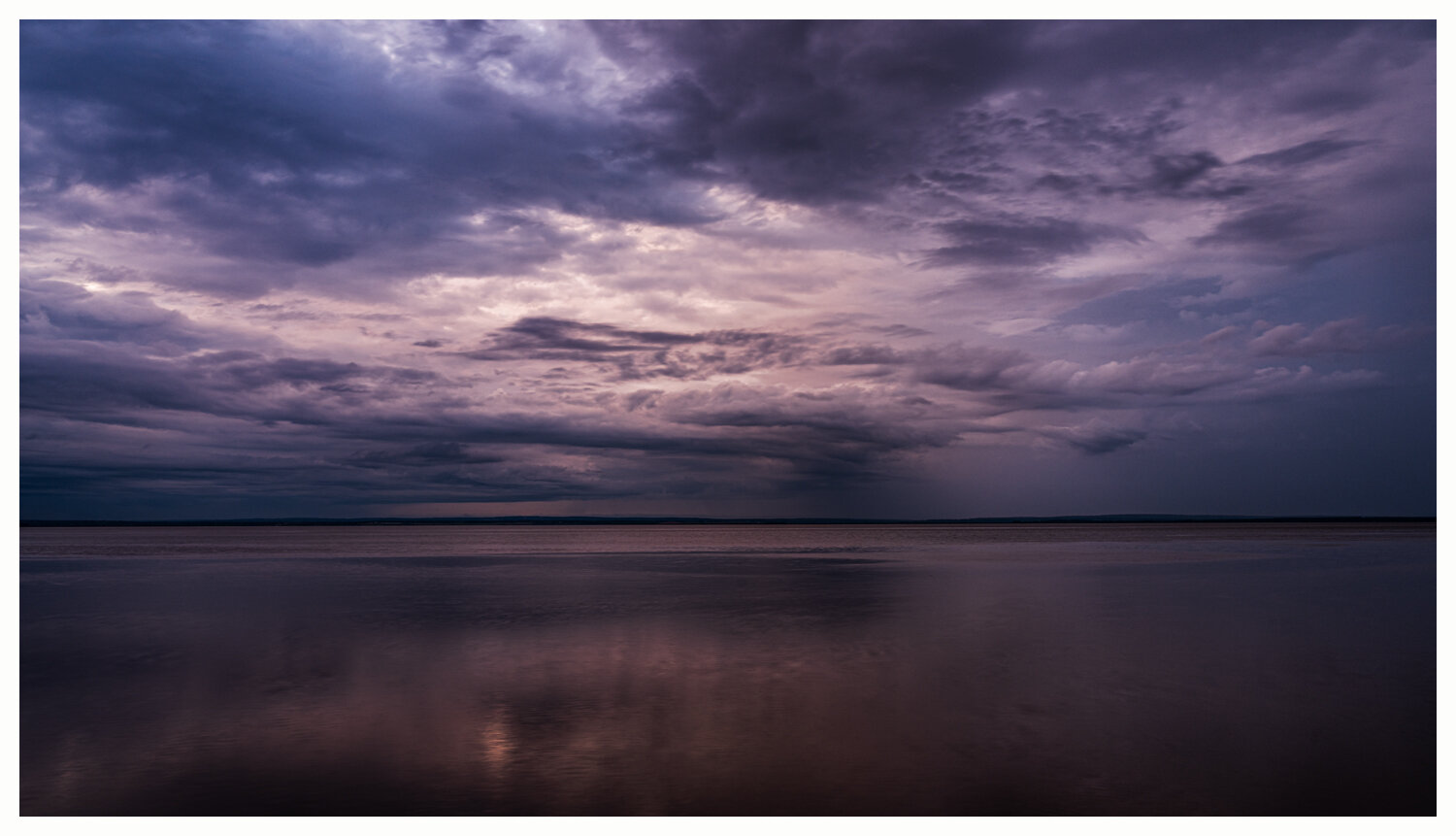
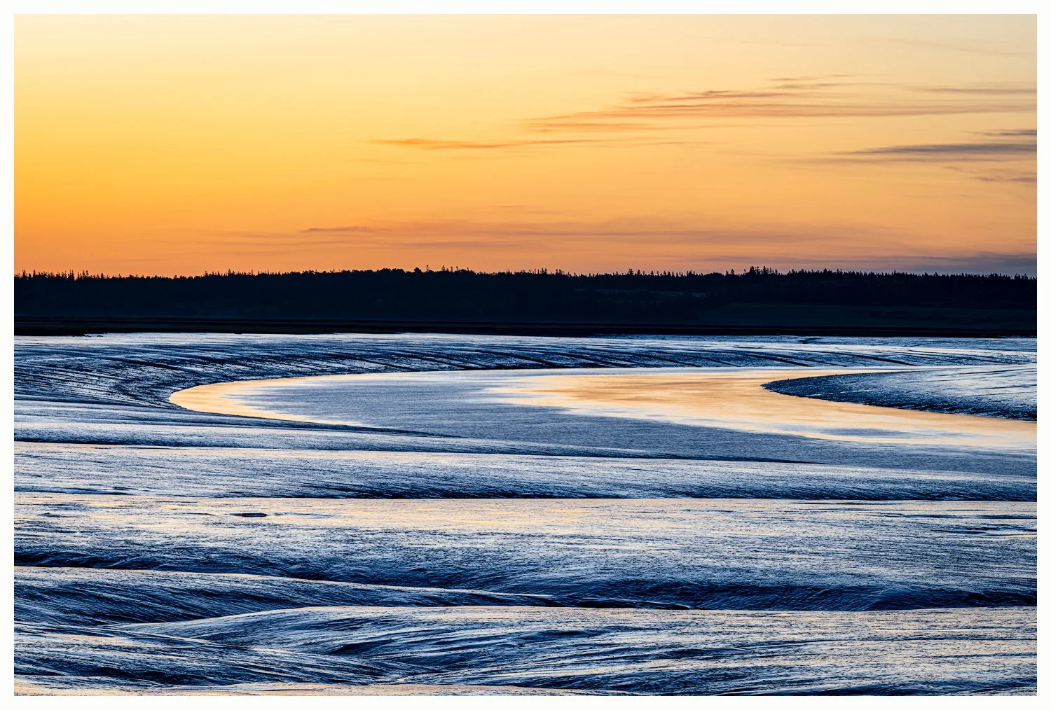
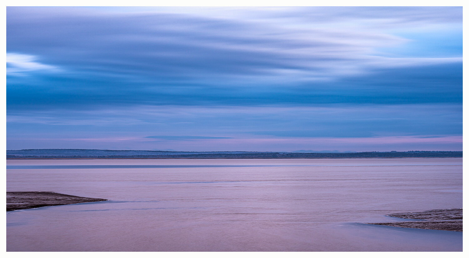
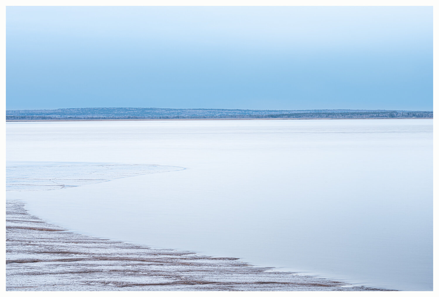
The Tantramar Marshes lie on the Isthmus of Chignecto at the head of the Bay of Fundy. These tidal salt marshes have been dyked since the 17th century and are used to grow hay and corn and as cattle pasture. As many as 400 hay barns once formed a distinctive feature of the marshes, but most have fallen to age and winter storms; some of the barns in the photos below are now gone. The Cumberland Basin, into which the tidal Tantramar River empties, is marked by mud-flats at low tide. In the winter, water and mud freeze to form a jagged, jumbled landscape.
View fullsize

Westcock Marsh, Evening
View fullsize

Farm overlooking the Marsh
View fullsize

Tantramar River, April
View fullsize

River of Fire
View fullsize

The Tantramar River, September
View fullsize

Evening Primrose, Tantramar River
View fullsize

Mud-bank and Marsh
View fullsize

Towards Fort Beauséjour
View fullsize

Tantramar Marsh Before Dawn
View fullsize

Morice Creek at Dawn
View fullsize

Morice Creek, Summer Morning
View fullsize

Tree, Reflection, and Fog
View fullsize

Tree at the Bend
View fullsize

Behind the Birch, Daybreak
View fullsize

The Tantramar, April Dawn
View fullsize

Spring Rainbow and Spring Geese
View fullsize

Morice Creek, Midsummer Mornin
View fullsize

The Tantramar at Upper Sackville
View fullsize

Lower West Marsh Road, Dawn
View fullsize

Tantramar Fields, Morning Mist
View fullsize

Sunrise with Hay Barns, Upper Sackville
View fullsize

Dusty Fields and Barn
View fullsize

Approaching Rain
View fullsize

Marsh Field, Sunrise
View fullsize

Morning Star and Towers
View fullsize

Threatening Weather
View fullsize

Hay Barn and Hay Bales
View fullsize

Westcock Marsh, early spring
View fullsize

Summer Storm Sky
View fullsize

Westcock Marsh, Foggy Morning (1)
View fullsize

Westcock Marsh, Foggy Morning (2)
View fullsize

Westcock Marsh, Foggy Morning (3)
View fullsize

Tantramar Summer Morning
View fullsize

Near Ogdens Lake
View fullsize

Three Cows
View fullsize

Family Portrait
View fullsize

Tantramar Fields, June
View fullsize

Daybreak, Upper Sackville
View fullsize

Tantramar Marsh, Midsummer
View fullsize

Approaching Storm, Midsummer
View fullsize

Summer dawn, Upper Sackville
View fullsize

Dawn on the Marsh
View fullsize

Derelict barns, Upper Sackville
View fullsize

Early August, Upper Sackville
View fullsize

Summer Dawn on the Marsh
View fullsize

Mist-shrouded tree, September morning
View fullsize

In Flight
View fullsize

First light on cattails
View fullsize

Tintamarre (1)
View fullsize

Tintamarre (2)
View fullsize

Waterway, Tintamarre (1)
View fullsize

Tintamarre Panorama
View fullsize

Waterway, Tintamarre (2)
View fullsize

Waterway, Tintamarre (3)
View fullsize

Tintamarre, Early June (1)
View fullsize

Tintamarre, Early June (2)
View fullsize

Lake's Edge
View fullsize

July Morning, Tintamarre
View fullsize

October Mist, Tintamarre
View fullsize

Impenetrable Forest
View fullsize

Marsh Sunrise with Fog
View fullsize

Late Summer – Fields and Fence
View fullsize

The Hay Barn – Late Summer
View fullsize

Late Summer – Morning Mist
View fullsize

Raceway
View fullsize

Beauséjour Marsh, Late October
View fullsize

The House on Beauséjour Marsh
View fullsize

Tantramar Fields, October
View fullsize

Tantramar River, October
View fullsize

Marsh Sunrise: Fog and Frost
View fullsize

Field and Barn, December
View fullsize

Marsh and Barn, Point de Bute
View fullsize

October dawn, Upper Sackville
View fullsize

Autumn Trees and Fields
View fullsize

Marsh Fields, Late October
View fullsize

Tantramar Marsh stream, low tide
View fullsize

Marsh Road, October
View fullsize

Marsh and Birch, December
View fullsize

The Last Barn, Westcock Marsh (1)
View fullsize

The Last Barn, Westcock Marsh (2)
View fullsize

Winter Thaw
View fullsize

Lowering Sky
View fullsize

Across the Field, December
View fullsize

Road to the Barn
View fullsize

Marsh Road and Fence, January
View fullsize

Marsh Fields in Snow
View fullsize

Barns in January
View fullsize

Winter Fences and Barns
View fullsize

Morice Creek, January Morning
View fullsize

Tantramar Field, Early Winter (1)
View fullsize

Tantramar Field, Early Winter (2)
View fullsize

Beside High Marsh Road, Early Winter
View fullsize

Remains, late December
View fullsize

Remains, January
View fullsize

The Hay Barn – Early Winter
View fullsize

The Hay Barn – February
View fullsize

Looking Over Westcock Marsh, February Morning
View fullsize

Through the Barn, Winter
View fullsize

Hay Bales in Winter
View fullsize

Winter Fog on the Marsh
View fullsize

Frozen Stream
View fullsize

Winter Fence and Tree
View fullsize

Converging Fences
View fullsize

Beside the Tantramar River, February
View fullsize

The Frozen Tantramar
View fullsize

Tantramar River Meander
View fullsize

The Tantramar, December, just after dawn
View fullsize

Westcock Dyke, Dawn
View fullsize

Low Tide, Morning Fog
View fullsize

Dawn, Cumberland Basin at Westcock
View fullsize

Fissures, Cumberland Basin
View fullsize

Rising Tide, Cumberland Basin
View fullsize

Ebbing Tide, Cumberland Basin (1)
View fullsize

Ebbing Tide, Cumberland Basin (2)
View fullsize

Ebbing Tide, Cumberland Basin (3)
View fullsize

Fissure Fire
View fullsize

A River Runs Through It, Cumberland Basin
View fullsize

December Evening, Cumberland Basin
View fullsize

Inlet
View fullsize

Flood Tide, Cumberland Basin
View fullsize

Near Sunset, Cumberland Basin at Westcock
View fullsize

Breaking Day, Cumberland Basin
View fullsize

Low tide at dawn, Cumberland Basin (1)
View fullsize

Low tide at dawn, Cumberland Basin (2)
View fullsize

Blue Curve, Cumberland Basin (1)
View fullsize

Blue Curve, Cumberland Basin (2)
View fullsize

Dusk, Cumberland Basin at Westcock
View fullsize

April Morning, Cumberland Basin